

Lake water quality monitoring & protection
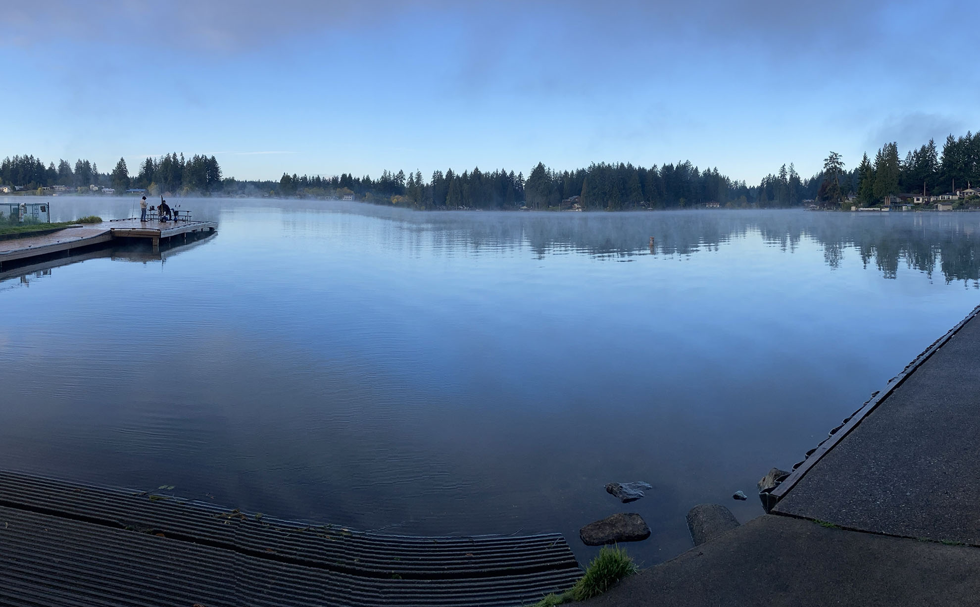
Our scientists coordinate algae and invasive-plant monitoring in Washington lakes and monitor some each year for toxic metals and other chemicals. However, most lake water quality monitoring is currently conducted by counties, local health departments, lake associations, and volunteer groups.
We participate in EPA's National Lakes Assessment every five years. Data are collected on a random sampling of lakes representing different regions of the state. We partnered with the Environmental Protection Agency (EPA) on this project in 2007, 2012, and 2017.
We coordinated a large lake-monitoring program from 1989 – 1999 to identify statewide water quality concerns. We tested for dissolved oxygen, water clarity, temperature, and contaminants. While this program is no longer funded, we maintain these data.
Lakes Environmental Data
We store and share lake data from across the state. These data include historical monitoring and current sampling results from our scientists, as well as data compiled under local-government projects we fund. The information includes some photographs and lake-bottom maps (bathymetry).
Look up a lake here: Lakes Environmental Data.
See the Lakes Environmental Data for the full database.
Resources and links
Related links
Contact information
William Hobbs
Limnologist
william.hobbs@ecy.wa.gov
360-995-3369
Wes Glisson
Aquatic Invasive Plant Specialist
wes.glisson@ecy.wa.gov
360-688-8811