

Eyes Over Puget Sound
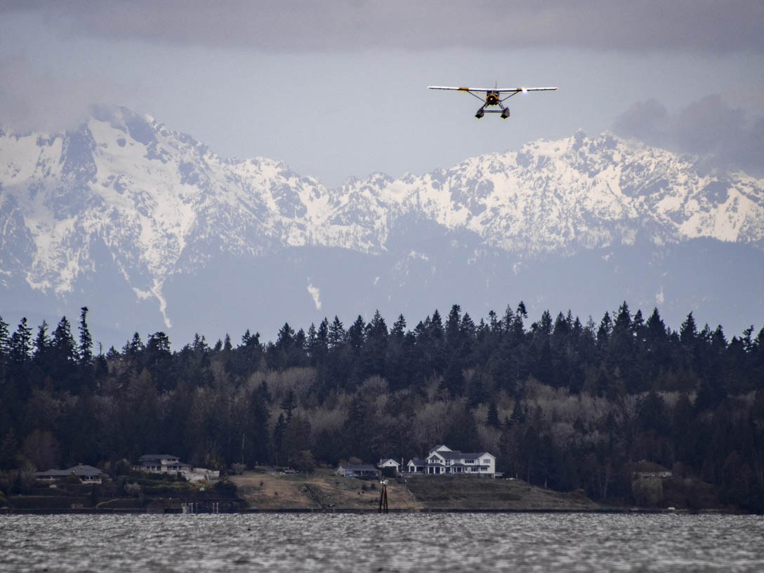
Eyes Over Puget Sound, or EOPS, is a project that expresses the importance and beauty of the Salish Sea through science and art. During spring to fall, we take to the air to document local marine waters from a unique vantage point. We aim to provide visual documentation and information on what is happening in the waterways around Puget Sound using community photo submissions and aerial photography via seaplane and drone flights.
Eyes Over Puget Sound empowers you to:
- See what is currently happening in Puget Sound.
- Use Eyes Over Puget Sound as free educational material.
- Contribute photos of Puget Sound marine observations.
Eyes Over Puget Sound
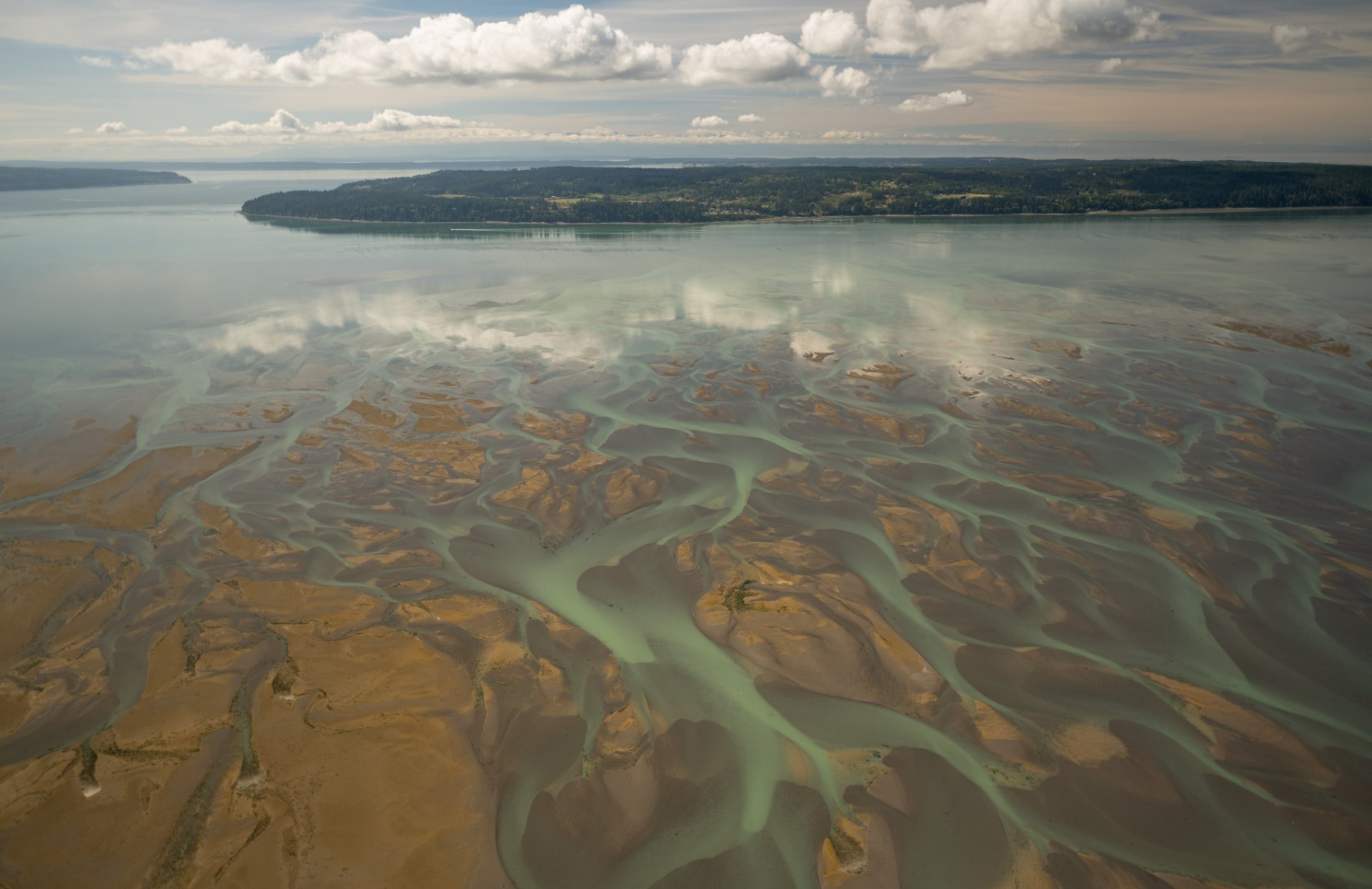
In September, we observed algae blooms, macroalgae, and sediment-rich river plumes from our Sept. 13, 2023, seaplane flight.
We also used a drone to document macroalgae and internal waves around Dash Point and Commencement Bay on Aug. 28, 2023.
To check out our September 2023 Eyes Over Puget Sound StoryMap, click the photo to the right.
Related links
Contact information
Eyes Over Puget Sound
EOPS@ecy.wa.gov