

Watershed health monitoring
Since 2009, we've been collecting data on overall river and stream health to answer questions about the condition of Washington’s watersheds. We follow strict measurement, quality-control, data-management, review, and validation procedures to gain an accurate picture of watershed health.
Our study
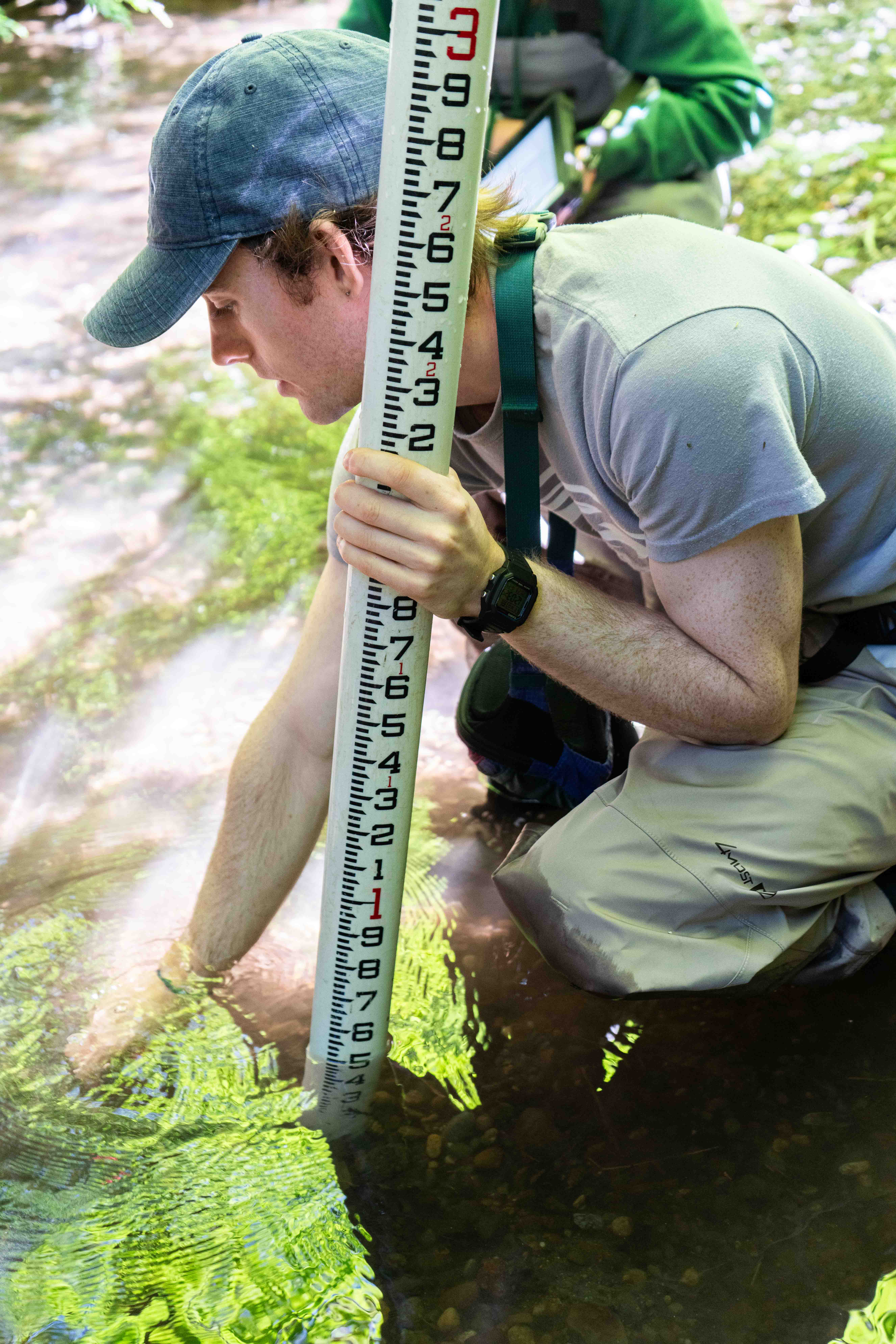
The Watershed Health Monitoring project tracks the status of Washington's rivers and streams using a statewide data collection effort. Over 80 sites are visited between July 1 and Oct. 15 to complete biological, chemical, and physical assessments. To learn more about annual sampling, visit our other pages:
- The Regional reports webpage presents preliminary data for all eight Status and Trends Regions over two to three rounds of sampling per region. Find out how your stream fared.
- Sampling schedules details the monitoring-sites rotation, sample design, and contains the latest candidate site list.
- Sampling sites explains the difference between random and reference sites and shows where we have already sampled.
The data we collect at these sites help us statistically represent Washington and allow us to show broad trends throughout the state.
Methods and data
In addition to our sampling, we help other researchers with tools to objectively assess watershed health. These include standard protocols for monitoring rivers and streams, protocol trainings, the Washington Master Sample site set, and the WHM Search database for securely managing stream-habitat data.
- Habitat monitoring methods offers technical information for those who perform stream monitoring in Washington state.
- Standard Operating Procedure (SOP) — Watershed Health Monitoring has a list of our published SOPs.
- WHM Search takes you straight to the database interface.
Reports
- Signal vs Noise for Watershed Health Monitoring Habitat Metrics, 2009-2019 — November 2022
- Evaluating Physical Habitat and Water Chemistry Data from Statewide Stream Monitoring Programs to Establish Least-Impacted Conditions in Washington State — April 2015
- Status of Puget Sound Tributaries 2009: Biology, Chemistry, and Physical Habitat — May 2012
Our dataset is publicly available to help support other studies as well. Below are reports that have used Watershed Health Monitoring data:
- State of the Salmon in Watersheds reports are updated biennially with our data.
- "Improved thermal preferences and a stressor index derived from modeled stream temperatures and regional taxonomic standards for freshwater macroinvertebrates of the Pacific Northwest, USA" — published in Ecological Indicators Volume 160, March 2024, 111869.
- “Strong but heterogeneous distributional responses to climate change are projected for temperate and semi-arid stream vertebrates” — published in Aquatic Conservation Volume 32, August 2022, pages 1291-1305.
- “The use of multiscale stressors with biological condition assessments: A framework to advance the assessment and management of streams” — published in Ecological Indicators Volume 737, October 2020, 139699.
- "The first statewide stream macroinvertebrate bioassessment in Washington State with a relative risk and attributable risk analysis for multiple stressors" — published in Ecological Indicators Volume 102, July 2019, pages 175 –185.
- “Flow pulses and fine sediments degrade stream macroinvertebrate communities in King County, Washington, USA” — published in Ecological Indicators Volume 93, October 2018, pages 365-378.
- “Stormwater Action Monitoring Status and Trends Study of Puget Lowland Ecoregion Streams: Evaluation of the First Year (2015) of Monitoring Data” — King County publication, May 2018.
Contact information
Edward M. Krynak
Watershed Health Monitoring Lead
edward.krynak@ecy.wa.gov
360-742-1581